
Supervisor:
Elisabeth Ulrika Sjödahl
Nils Roar Sælthun
In contrast, engineered dams and dike structures have shown to be fragile in increased flood disruption events, underlining the importance of working with the dynamics of the landscape rather than resisting it. The design approach involves acknowledging the river as a living entity within the rural context and guiding the water by stabilizing the soils, utilizing vegetation and existing rural structures within microtopographic low-lying historical meanders of the site.

Giving space to the river horisontally and Infiltrating to the stratigraphic layers
A number of strategic low-laying basins from old meander traces are selected to give space for the water. By rataining waterbodies in the floodplain a key element is the infiltration. As the historical section examplefies and sesmic drill-samples from Flisa and Kirkenær shows, the depth varies from 100-50 meters of sand, gravel and silt.
Designing with the dynamics of the river
As the historical map illustrates, the course of the river and sediment deposition has dynamically changed over time. Soil movement, accumulation, and the evolving nature of the river are key elements in the local design strategy.
Vegetation and existing structures as elements of design
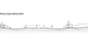
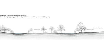
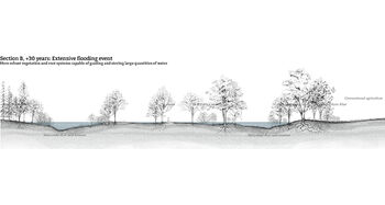
In relation to the ground’s gradient, trees with intricate root systems and aquatic resilience stabilize wind and water erosion cost-effectively, while vegetation, roads, stone fences, and embankments guide water within the rural context.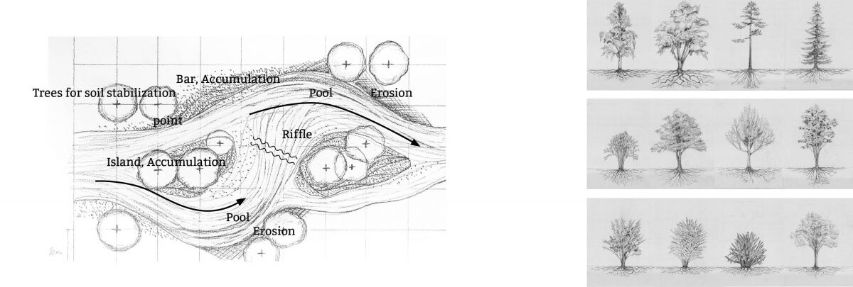
.jpg)


Contact

Fredrik Svendgård / fredriksvendgard@gmail.com